atlas Royalty Free Vector Images (10,282)
Page 205 of 206

Europe map with names of sovereign countries
VectorUsername
pytyResolution
5000x5000pxEurope map with names of sovereign countries


Map of Europe with names of sovereign countries, ministates included. Simplified black vector map on white background
VectorUsername
pytyResolution
5000x4996pxMap of Europe with names of sovereign countries, ministates included. Simplified black vector map on white background


Map of Europe without Scandinavian states. White vector map on dark grey background
VectorUsername
pytyResolution
5000x2812pxMap of Europe without Scandinavian states. White vector map on dark grey background


Map of Europe with names of sovereign countries, ministates included. Simplified black vector map on white background
VectorUsername
pytyResolution
5000x5000pxMap of Europe with names of sovereign countries, ministates included. Simplified black vector map on white background


Map of Europe with names of sovereign countries, ministates included. Simplified red vector map on white background
VectorUsername
pytyResolution
5000x5000pxMap of Europe with names of sovereign countries, ministates included. Simplified red vector map on white background


Europe map with names of sovereign countries
VectorUsername
pytyResolution
5000x2500pxEurope map with names of sovereign countries

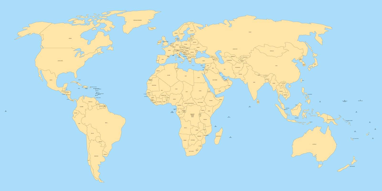
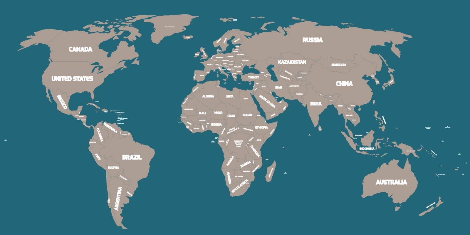
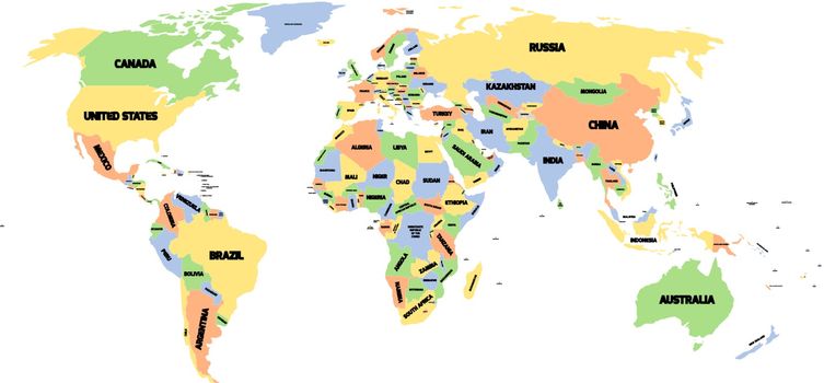
Political map of World
VectorUsername
pytyResolution
5000x2500pxPolitical map of World

Political map of World
VectorUsername
pytyResolution
5000x2500pxPolitical map of World

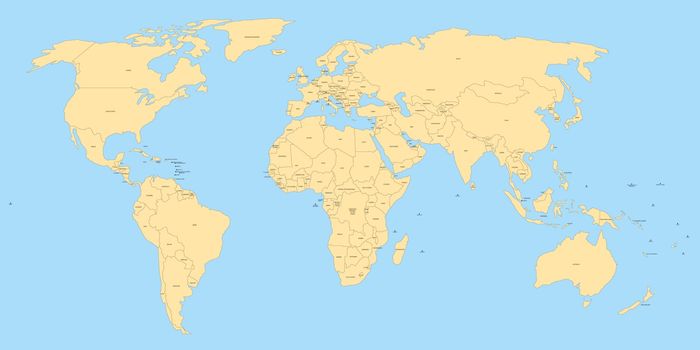
Political map of World
VectorUsername
pytyResolution
5000x2500pxPolitical map of World
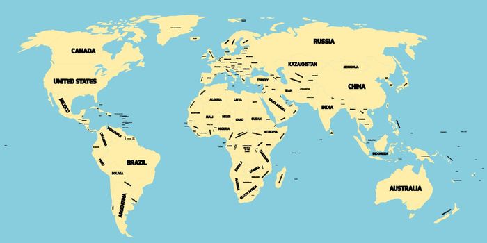
Political map of World
VectorUsername
pytyResolution
5000x2500pxPolitical map of World

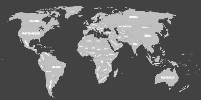
Political map of the world in shades of grey. Simlified flat geographical background wallpaper. EPS10 vector illustration
VectorUsername
pytyResolution
5000x2426pxPolitical map of the world in shades of grey. Simlified flat geographical background wallpaper. EPS10 vector illustration


Map of United States of America, USA, in four shades of violet with white state labels. Simple flat vector illustration isolated on white background
VectorUsername
pytyResolution
5000x3587pxMap of United States of America, USA, in four shades of violet with white state labels. Simple flat vector illustration isolated on white background


Blank vector map of USA in four shades of blue
VectorUsername
pytyResolution
5000x3585pxBlank vector map of USA in four shades of blue


Blank vector map of USA in four shades of blue
VectorUsername
pytyResolution
5000x3585pxBlank vector map of USA in four shades of blue


Map of United States of America, USA, in four shades of orange and red with white state labels. Simple flat vector illustration isolated on white background
VectorUsername
pytyResolution
5000x3587pxMap of United States of America, USA, in four shades of orange and red with white state labels. Simple flat vector illustration isolated on white background


Map of United States of America, USA, in four shades of green with white state labels. Simple flat vector illustration isolated on white background
VectorUsername
pytyResolution
5000x3587pxMap of United States of America, USA, in four shades of green with white state labels. Simple flat vector illustration isolated on white background


Vector blank map of USA in blue
VectorUsername
pytyResolution
5000x3585pxVector blank map of USA in blue


Map of United States of America, USA, in four shades of turquoise blue with white state labels. Simple flat vector illustration isolated on white background
VectorUsername
pytyResolution
5000x3587pxMap of United States of America, USA, in four shades of turquoise blue with white state labels. Simple flat vector illustration isolated on white background


Map of United States of America, USA, in four shades of green with white state labels. Simple flat vector illustration isolated on white background
VectorUsername
pytyResolution
5000x3587pxMap of United States of America, USA, in four shades of green with white state labels. Simple flat vector illustration isolated on white background


Map of Europe with names of sovereign countries, ministates included. Simplified white vector map on grey background
VectorUsername
pytyResolution
5000x5000pxMap of Europe with names of sovereign countries, ministates included. Simplified white vector map on grey background


Blank map of United States of America, USA, divided into states in four shades of turquoise blue. Simple flat vector illustration on white background
VectorUsername
pytyResolution
5000x3521pxBlank map of United States of America, USA, divided into states in four shades of turquoise blue. Simple flat vector illustration on white background


Map of United States of America, USA, in four shades of orange and red with white state labels. Simple flat vector illustration isolated on white background
VectorUsername
pytyResolution
5000x3587pxMap of United States of America, USA, in four shades of orange and red with white state labels. Simple flat vector illustration isolated on white background


Map of United States of America, USA, in four shades of turquoise blue with white state labels. Simple flat vector illustration isolated on white background
VectorUsername
pytyResolution
5000x3587pxMap of United States of America, USA, in four shades of turquoise blue with white state labels. Simple flat vector illustration isolated on white background


Europe map with names of sovereign countries
VectorUsername
pytyResolution
5000x5000pxEurope map with names of sovereign countries


Vector map of Europe
VectorUsername
pytyResolution
5000x5000pxVector map of Europe


Background with an empty map
VectorUsername
VIPDesignUSAResolution
5000x5000pxBackground with an empty map


Cayman Islands outline map set
VectorUsername
davidzyddResolution
5000x3460pxCayman Islands outline map set


Egypt map
VectorUsername
VolinaResolution
5000x5000pxEgypt map

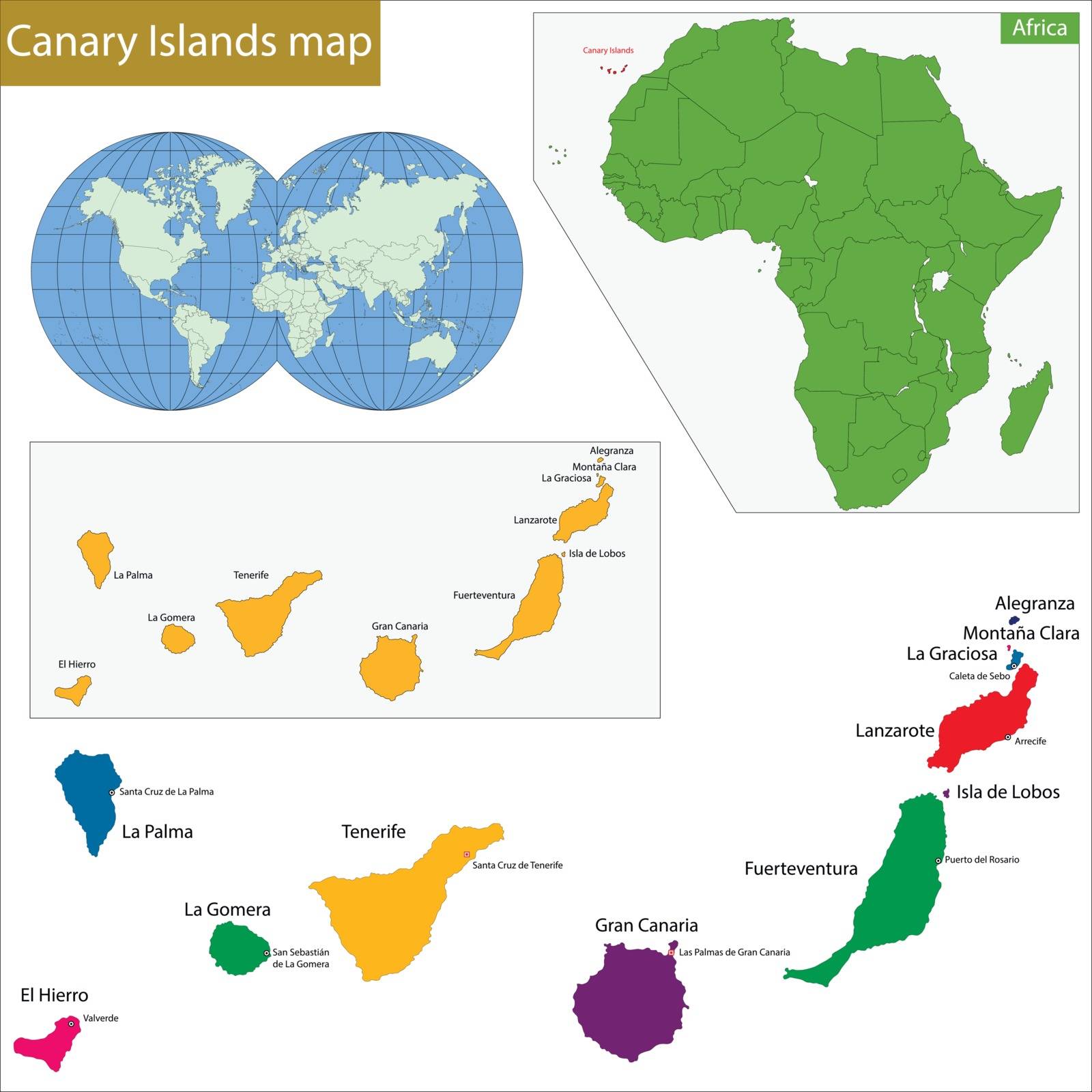
Canary Islands map
VectorUsername
VolinaResolution
5000x5000pxCanary Islands map


vector image of earth with radiation
VectorUsername
kozziResolution
5000x3165pxvector image of earth with radiation


China map country coronavirus concept
VectorUsername
siraanamwongResolution
2829x2000pxChina map country coronavirus concept


USA map country coronavirus concept
VectorUsername
siraanamwongResolution
2829x2000pxUSA map country coronavirus concept


Greenland island map silhouette
VectorUsername
rogistokResolution
5000x3333pxGreenland island map silhouette


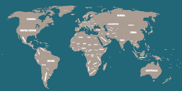
Political map of World
VectorUsername
pytyResolution
5000x2325pxPolitical map of World

Guadeloupe outline map set
VectorUsername
davidzyddResolution
5000x4236pxGuadeloupe outline map set


World globe
VectorUsername
DazdrapermaResolution
5000x2998pxWorld globe


abstract blue earth with matrix
VectorUsername
kozziResolution
5000x3110pxabstract blue earth with matrix


abstract image of earth
VectorUsername
kozziResolution
5000x2062pxabstract image of earth


vector image of blue earth and arrow sign
VectorUsername
kozziResolution
5000x4175pxvector image of blue earth and arrow sign


World Map Illustration
VectorUsername
nmarques74Resolution
5000x3750pxWorld Map Illustration


World Map Illustration
VectorUsername
nmarques74Resolution
5000x3750pxWorld Map Illustration


Senegal outline map set
VectorUsername
davidzyddResolution
5000x4252pxSenegal outline map set


Nigeria outline map set
VectorUsername
davidzyddResolution
5000x4236pxNigeria outline map set

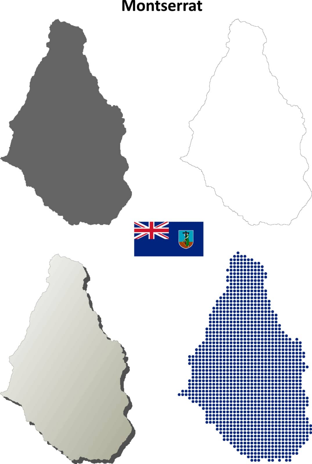
Montserrat outline map set
VectorUsername
davidzyddResolution
3360x5000pxMontserrat outline map set


Jamaica outline map set
VectorUsername
davidzyddResolution
5000x3769pxJamaica outline map set


Guinea outline map set
VectorUsername
davidzyddResolution
5000x4175pxGuinea outline map set


Guinea-Bissau outline map set
VectorUsername
davidzyddResolution
5000x3537pxGuinea-Bissau outline map set


Haiti outline map set
VectorUsername
davidzyddResolution
5000x4772pxHaiti outline map set


Gambia outline map set
VectorUsername
davidzyddResolution
4718x5000pxGambia outline map set


Grenada outline map set
VectorUsername
davidzyddResolution
3518x5000pxGrenada outline map set
